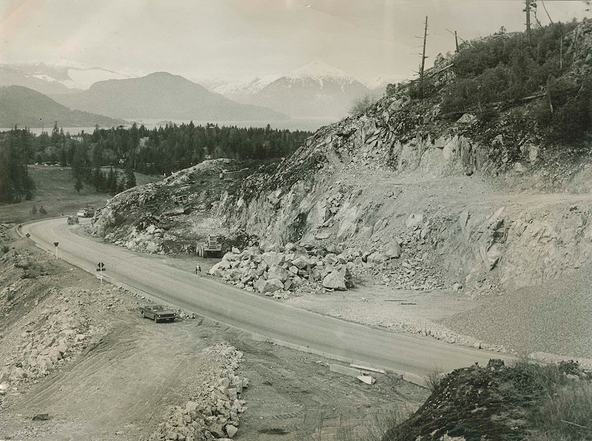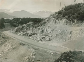
Construction on the Upper Levels Highway
https://archives.westvancouver.ca/link/descr18125
- Fonds / Collection
- Rupert Harrison photograph collection
- Description Level
- Item
- GMD
- photograph
- Date
- [1965 or 1966]
- Scope and Content
- Item is a photograph of construction on the Upper Levels Highway just south of Horseshoe Bay. The view is north. Horseshoe Bay is in the middle distance. In the distance, Bowen Island is at far left and the mountains of Howe Sound at centre.
- Repository
- West Vancouver Archives
- Fonds / Collection
- Rupert Harrison photograph collection
- Description Level
- Item
- GMD
- photograph
- Date
- [1965 or 1966]
- Scope and Content
- Item is a photograph of construction on the Upper Levels Highway just south of Horseshoe Bay. The view is north. Horseshoe Bay is in the middle distance. In the distance, Bowen Island is at far left and the mountains of Howe Sound at centre.
- Physical Description
- 1 photograph : b&w ; 19 x 25 cm
- Reference Code
- CA BWVA C030-S01-IT2485
- Item Number
- 2485.WVA.RAH
- Accession Number
- 2000-004
- Subject Access
- Construction
- Transportation - Roads
- Geographic Access
- Bowen Island (B.C.)
- Horseshoe Bay (West Vancouver, B.C.)
- Howe Sound (B.C.)
- Upper Levels Highway (B.C.)
- Learn More
- Learn more about the above place(s)
- Notes
- Title based on the contents of the image.
- Copyright / Terms of Use
- Public domain. No restrictions on access or reproduction.
- Repository
- West Vancouver Archives
- Other Formats
- Also available as a TIF (38.3 MB).
Images