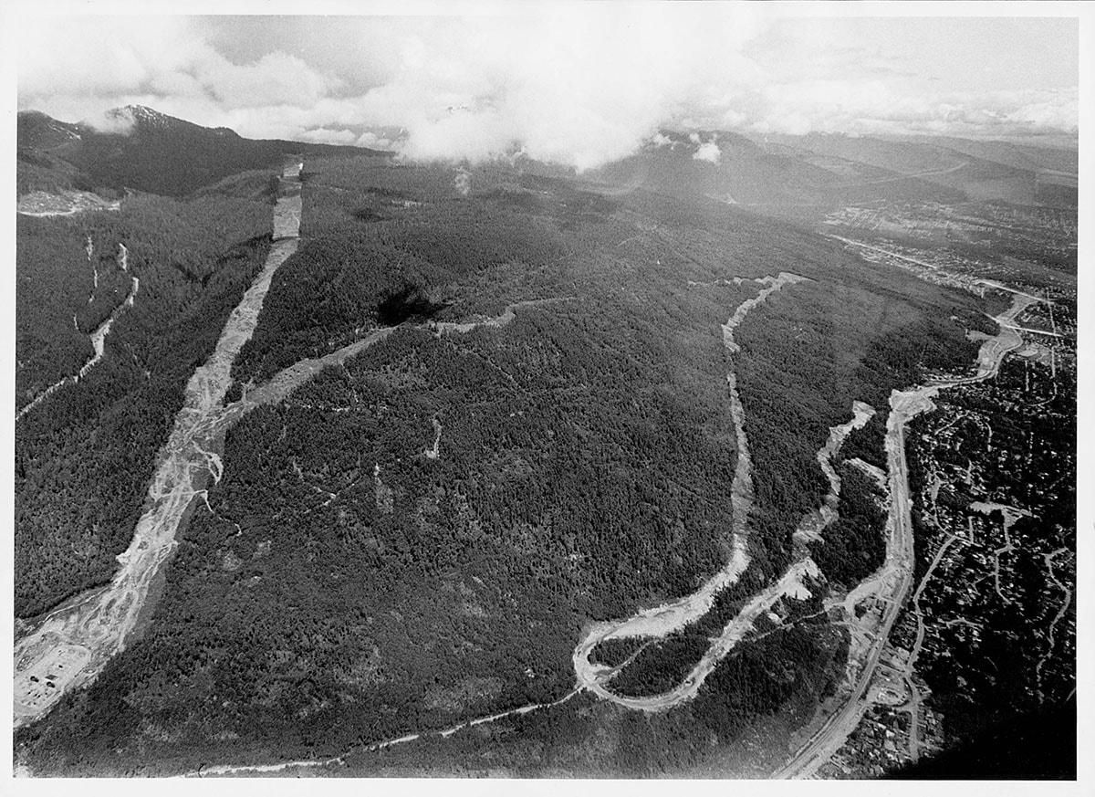
Aerial view of construction of Cypress Bowl Road
https://archives.westvancouver.ca/link/descr2711
- Fonds / Collection
- Rupert Harrison photograph collection
- Description Level
- Item
- GMD
- photograph
- Date
- July 1972
- Scope and Content
- Item is an aerial photograph of territory above the Upper Levels Highway during construction of the road creating access to the Cypress Bowl ski area.
- Repository
- West Vancouver Archives
- Fonds / Collection
- Rupert Harrison photograph collection
- Description Level
- Item
- GMD
- photograph
- Date
- July 1972
- Scope and Content
- Item is an aerial photograph of territory above the Upper Levels Highway during construction of the road creating access to the Cypress Bowl ski area.
- Physical Description
- 1 photograph : b&w ; 18 x 25 cm
- Reference Code
- CA BWVA C030-S01-IT1127
- Item Number
- 1127.WVA.RAH
- Responsibility
- Vancouver Sun
- Subject Access
- Transportation - Roads
- Geographic Access
- Cypress Bowl (West Vancouver, B.C.)
- Hollyburn Ridge (West Vancouver, B.C.)
- Upper Levels Highway (B.C.)
- Learn More
- Learn more about the above place(s)
- Notes
- Title based on the contents of the image.
- Copyright / Terms of Use
- Copyright held by the creator. There are no restrictions on reproduction for research and private study. Permission of the copyright holder is required for all other uses.
- Repository
- West Vancouver Archives
- Other Formats
- Also available as a TIF (37.5 MB).
Images