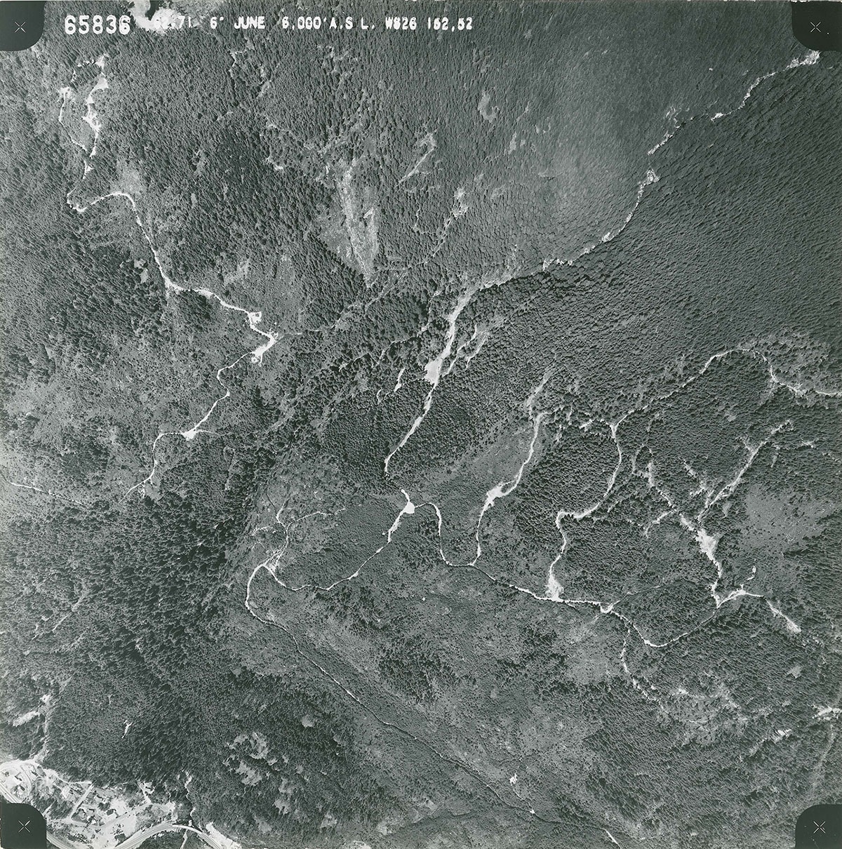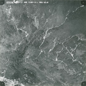
South end of Eagle Lake to Cypress Bowl Road orthophoto
https://archives.westvancouver.ca/link/descr6615
- Fonds / Collection
- District of West Vancouver fonds
- Description Level
- Item
- GMD
- cartographic material
- Date
- June 1962
- Scope and Content
- Item is an orthophoto of the territory between the south end of Eagle Lake and Cypress Bowl Road.
- Repository
- West Vancouver Archives
- Fonds / Collection
- District of West Vancouver fonds
- Description Level
- Item
- Date
- June 1962
- Scope and Content
- Item is an orthophoto of the territory between the south end of Eagle Lake and Cypress Bowl Road.
- Physical Description
- 2 orthophotos : b&w ; 23 x 23 cm and 97 x 89 cm
- Reference Code
- 65836.DWV
- Item Number
- 65836.DWV
- Responsibility
- Hunting Survey Corporation Ltd.
- Geographic Access
- Upper Lands (West Vancouver, B.C.)
- Learn More
- Learn more about the above place(s)
- Notes
- Title based on the contents of the image.
- Small format reference no. 9.
- Large format reference no. 4.
- Copyright / Terms of Use
- Public domain. No restrictions on access or reproduction.
- Repository
- West Vancouver Archives
- Other Formats
- Also available as a TIF (52 MB).
Images