18th Street to 31st Street / Highview Lookout to Burrard Inlet orthophoto
https://archives.westvancouver.ca/link/descr8096
- Fonds / Collection
- District of West Vancouver fonds
- Description Level
- Item
- GMD
- cartographic material
- Date
- April 1, 1976
- Scope and Content
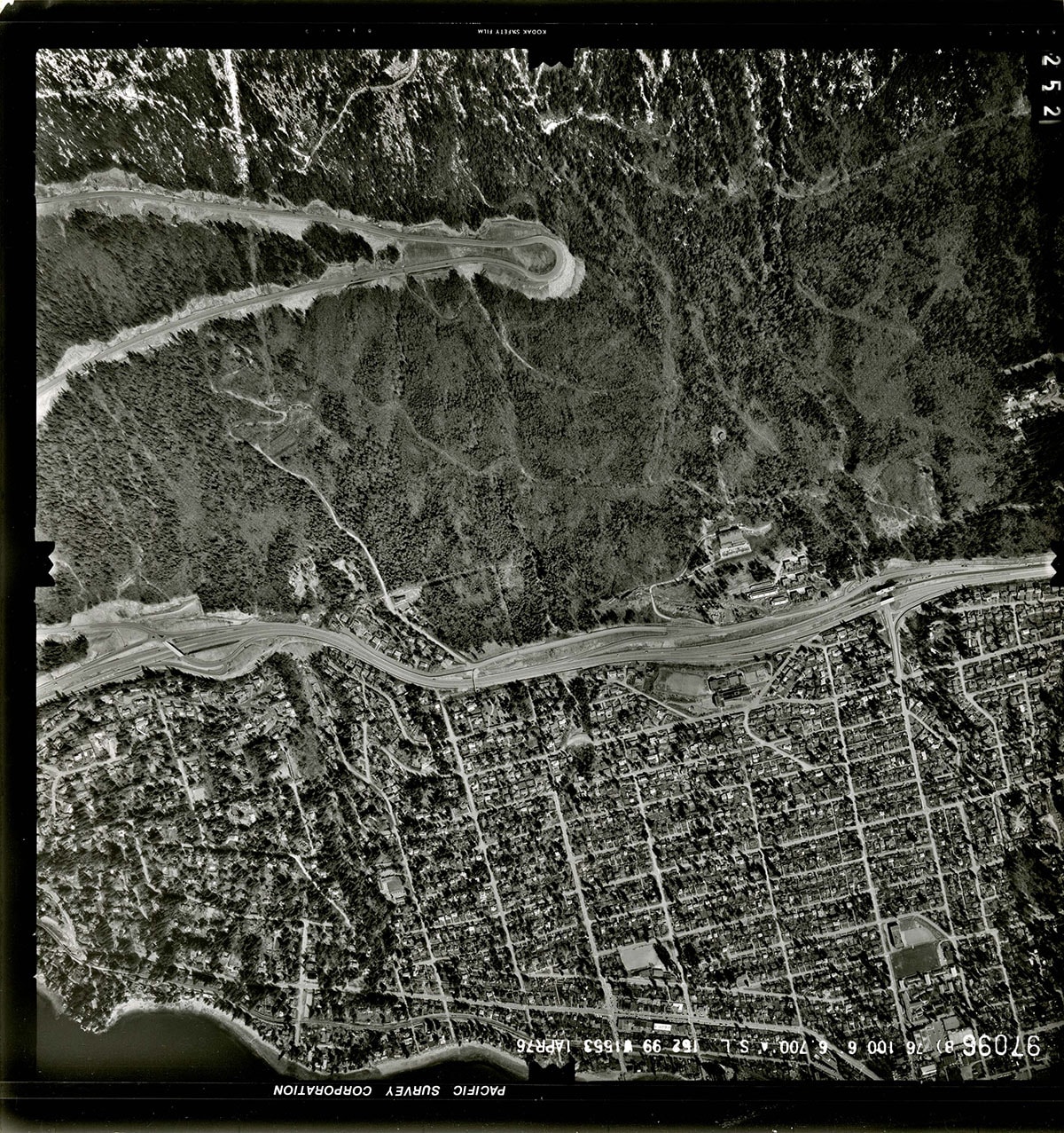
- Item is an orthophoto of the territory between 18th Street and 31st Street, from Highview Lookout on Cypress Bowl Road to the waterfront at Burrard Inlet.
- Repository
- West Vancouver Archives
- Fonds / Collection
- District of West Vancouver fonds
- Description Level
- Item
- Date
- April 1, 1976
- Scope and Content
- Item is an orthophoto of the territory between 18th Street and 31st Street, from Highview Lookout on Cypress Bowl Road to the waterfront at Burrard Inlet.
- Physical Description
- 1 orthophoto : b&w ; 23 x 23 cm
- Reference Code
- 97096.DWV
- Item Number
- 97096.DWV
- Responsibility
- Pacific Survey Corporation
- Geographic Access
- Cypress Bowl (West Vancouver, B.C.)
- Cypress Creek (West Vancouver, B.C.)
- Dundarave (West Vancouver, B.C.)
- West Bay (West Vancouver, B.C.)
- Learn More
- Learn more about the above place(s)
- Notes
- Title based on the contents of the image.
- Copyright / Terms of Use
- Copyright held by the creator. There are no restrictions on reproduction for research and private study. Permission of the copyright holder is required for all other uses.
- Repository
- West Vancouver Archives
- Other Formats
- Also available as a TIF (24.8 MB)
Images